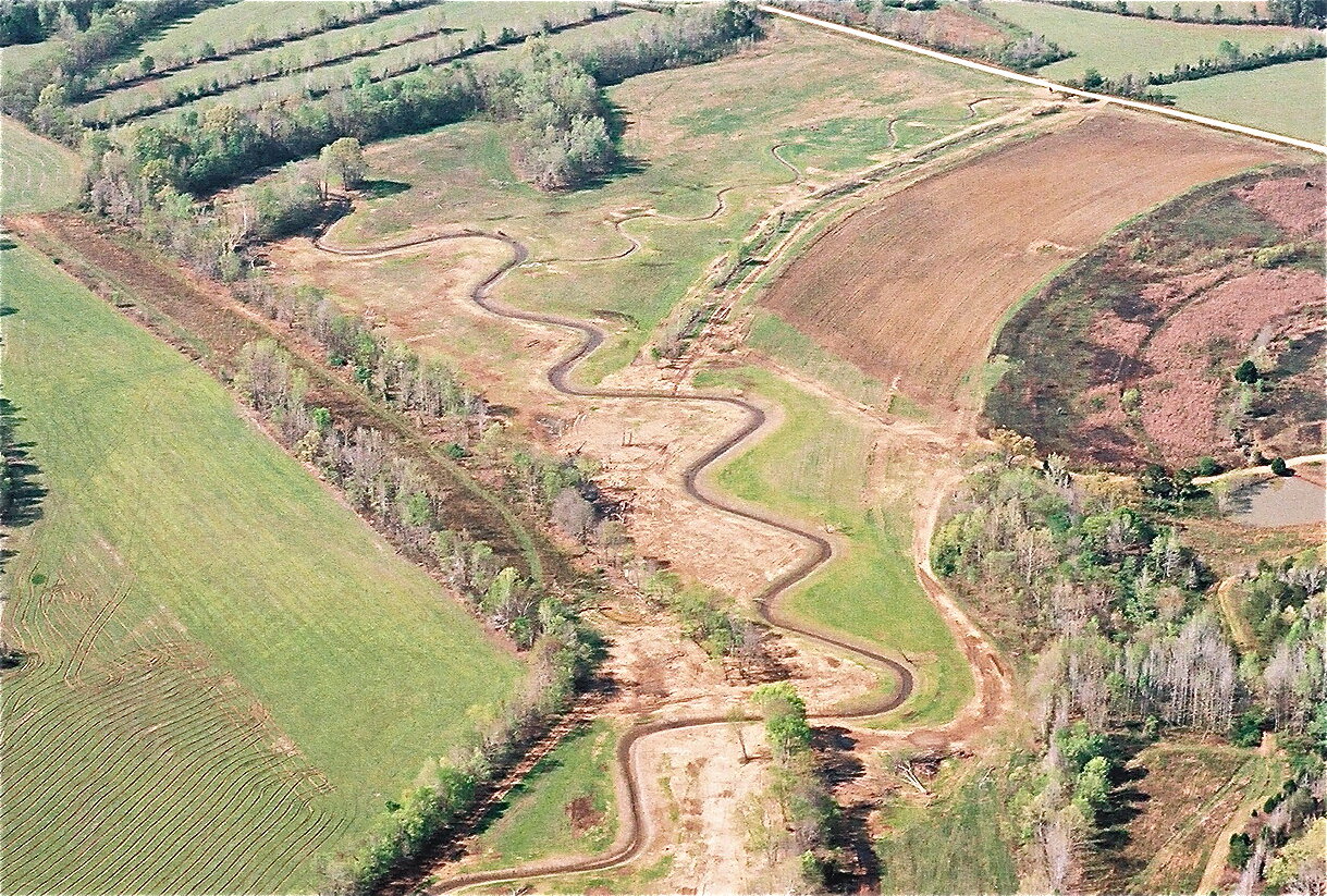
crooked creek
The project consists of portions of Crooked Creek and several unnamed tributaries located within the White Oak Creek Wildlife Management Area (WMA). These streams were historically straightened, are 303(d)-listed, and can best be described as severely channelized and entrenched with very high bank erosion potential and poor channel stability. In addition, the riparian buffer is predominately non- existent, consisting primarily of ten-foot wide strips bordered by fallow fields. The primary goals of this project include restoring stability and sediment transport functions by reestablishing natural channel morphology and floodplain access, improving water quality by reducing excess sediment inputs due to accelerated bank erosion, enhancing aquatic habitat, and expanding riparian habitat by reestablishing buffers of native trees, shrubs and herbaceous species. Restoring a more natural channel dimension, pattern and profile as well as reconnecting the stream to a functional floodplain will reduce flood velocities and reduce streambank erosion. The reduction in sediment inputs and the use of instream structures will improve aquatic habitat and maintain riffle and pool bedforms. The reestablishment of a native buffer will filter and capture sediment and further improve both aquatic and terrestrial habitat.
Service Area: Lower Tennessee
Watershed: Upper Kentucky Reservoir
Project Length: 11,986 linear feet
Date of Completion: December 2006


